
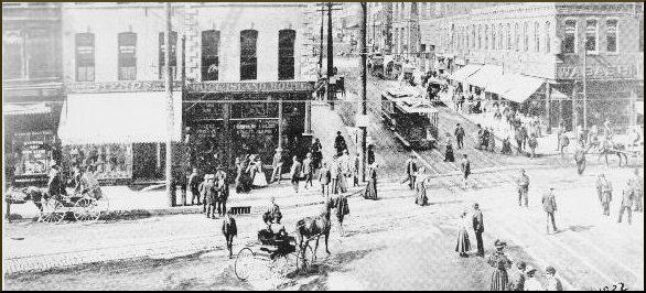
 Junction at 9th & Main, 1890 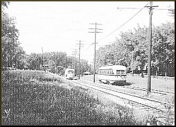 Country Club Line near 66th Street and Wornall Road, 1955. |
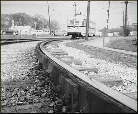 Troost Line, 1955 Anyone in my generation will remember the tracks in the streets downtown until the early sixties. The furniture store in old downtown Overland Park was the car barn of the Strang Line interurban that connected Westport with Olathe and ran into the fifties. Until very recently, the tracks were still in place on the old Country Club Line thru Waldo and much of that line has been preserved as a pedestrian parkway. Other lines went down Troost and Holmes Road, to Inedependence Avenue, to North Kansas City, to Kansas City, Kansas. Southwest Boulivard was served by a horse-drawn street car into the twentieth century. |
|
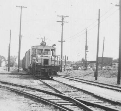
KC Public Service freight at 75th & Wornall, 1950 |
|
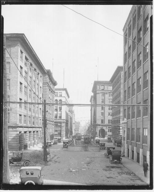
The Eight Street tunnel entrance off Broadway
1920 |
|
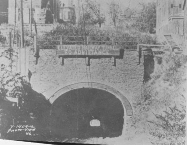
Tunnel portal thru the West Bluffs into the Bottoms
1890's |
|
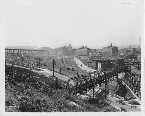
Exiting the tunnel, the line crossed into the Bottoms on this iron bridge. The Bluff Bridge is just to the right.
1920's |
|
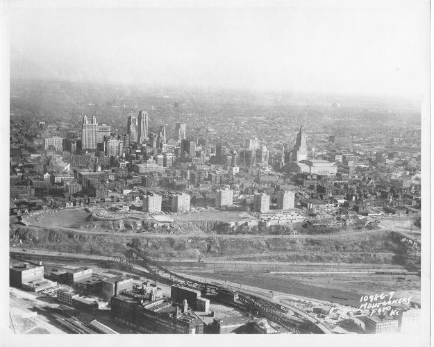
The line was in operation into the 1950's. The tunnel entrance is in the bottom left of this photo. The Bluff Bridge is just below. 1951 |
|
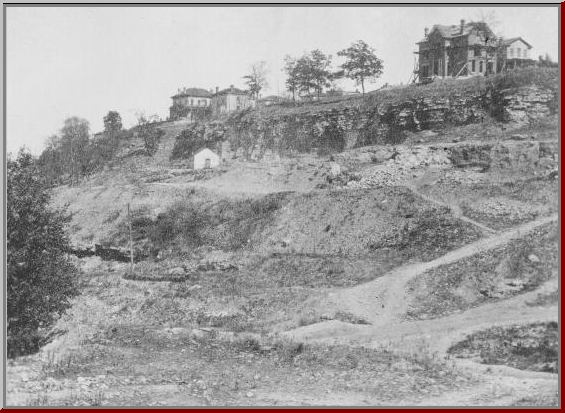
West Bluff before the road was built.
1878 |
|
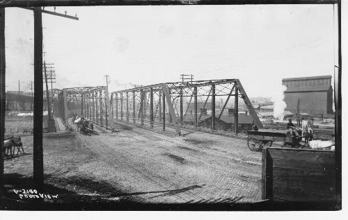
Bluff Street bridge with local traffic
1900 |
|
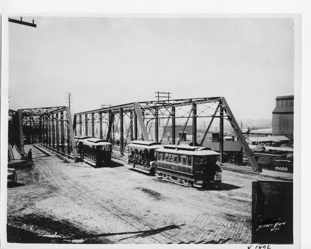
Bluff Street bridge with cable car line thru the center
1900 |
|
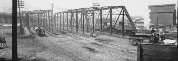
Bluff Bridge .ca 1900 street traffic |
|
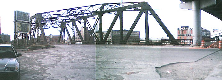
Bluff Bridge as it is today |